
Schedule of features
What Plotlay does
Everything Plotlay does today, grouped by the job. Every tool and every export is free in your browser; plans add cloud projects, more sharing, your logo and a team space (fees). Almost all of it can also be done by an AI agent.
Map and site
- Projects on the map or on paper. Live street and satellite maps, any image as the map, or a blank metre grid for a floor plan with no address yet.
- Your own imagery. Add a Mapbox, Google, MapTiler, Esri, Nearmap or Stadia key, or any XYZ or WMS layer (cadastre, zoning, flood). Keys stay in your browser.
- The site boundary. The land parcel from the state cadastre in SA, VIC, QLD and TAS, or the OpenStreetMap boundary. OSM building outlines in view as shapes.
- Terrain. Contours and spot levels from open terrain data; the ground in 3D.
- Design codes. Design codes for every Australian state, New Zealand, England, Ireland, the US and Canada, or your own template of checks. Pick the codes per project, import a rule pack (JSON, YAML or CSV), and pin the version each project uses. Every rule reports PASS, WARN, FAIL or UNKNOWN with its clause and source. Design codes. Reference only: verify with your council or certifier.
- Development applications. Site details, setbacks, carports with gutters, downpipes and stormwater, driveways, verge items, soft landscaping, cut and fill, and tree protection, checked against the codes you choose.
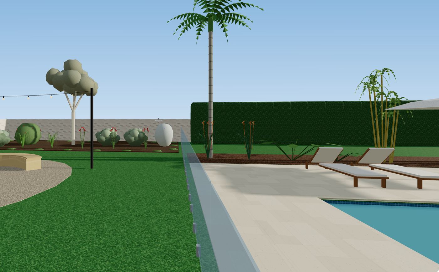
- Landscaping. 184 garden plants and 18 indoor plants at mature size, as single plants, rows or filled beds, with a plant schedule. Paving, decks, pools, fences and gates in many styles.
- Levels. Basement, ground and upper floors, each with its own drawing.
Drawings and CAD
- Put a drawing on the ground. PNG, JPG, WebP, SVG, PDF (any page) or DXF. Pin 2 or more matching points; each pin shows its error and the fit shows RMS. DXFs drawn in MGA or UTM place themselves. Save DWG as DXF first.
- Clean it up. Recolour linework, dim the base map, erase or crop title blocks, cut a room out to its own layer, swap in a revision and keep the placement.
- Trace and draw. The magic wand outlines a room in one click. Lines, shapes, text, symbols, leaders, dimensions and hatches; sketch by hand and it straightens up.
- Precision drafting. 50 commands (move, copy, rotate, mirror, array, offset, trim, extend, fillet, chamfer and more), typed lengths and snapping to ends, midpoints and crossings.
- History. Undo up to 100 steps, plus restore points kept on your device.
Building
- Rooms, walls, doors and windows. Draw rooms corner by corner or by typed lengths; walls at set thicknesses; hinged, sliding, bifold, stacker, barn and awning openings with marks D01 and W01. Square up a scanned or sketched plan in one step.
- Finishes. 128 tiles by type, colour, size and finish; floors, wall linings, benchtops, paint, skirting and cornices; the house’s brick, render, cladding, roof and Colorbond colours.
- The fit-out library. 804 real-sized things on 14 shelves: furniture, kitchens, bathrooms, appliances, lighting, joinery, sheds, site items. 234 of them are built in 3D.
- Design options. Two vanities, three kitchen layouts: each option set shows one at a time, on the plan, in 3D and on the sheets.
- Fit to tape. Tape measurements from site fit the plan to the house as built; measurements that can’t all be true are reported, not hidden.
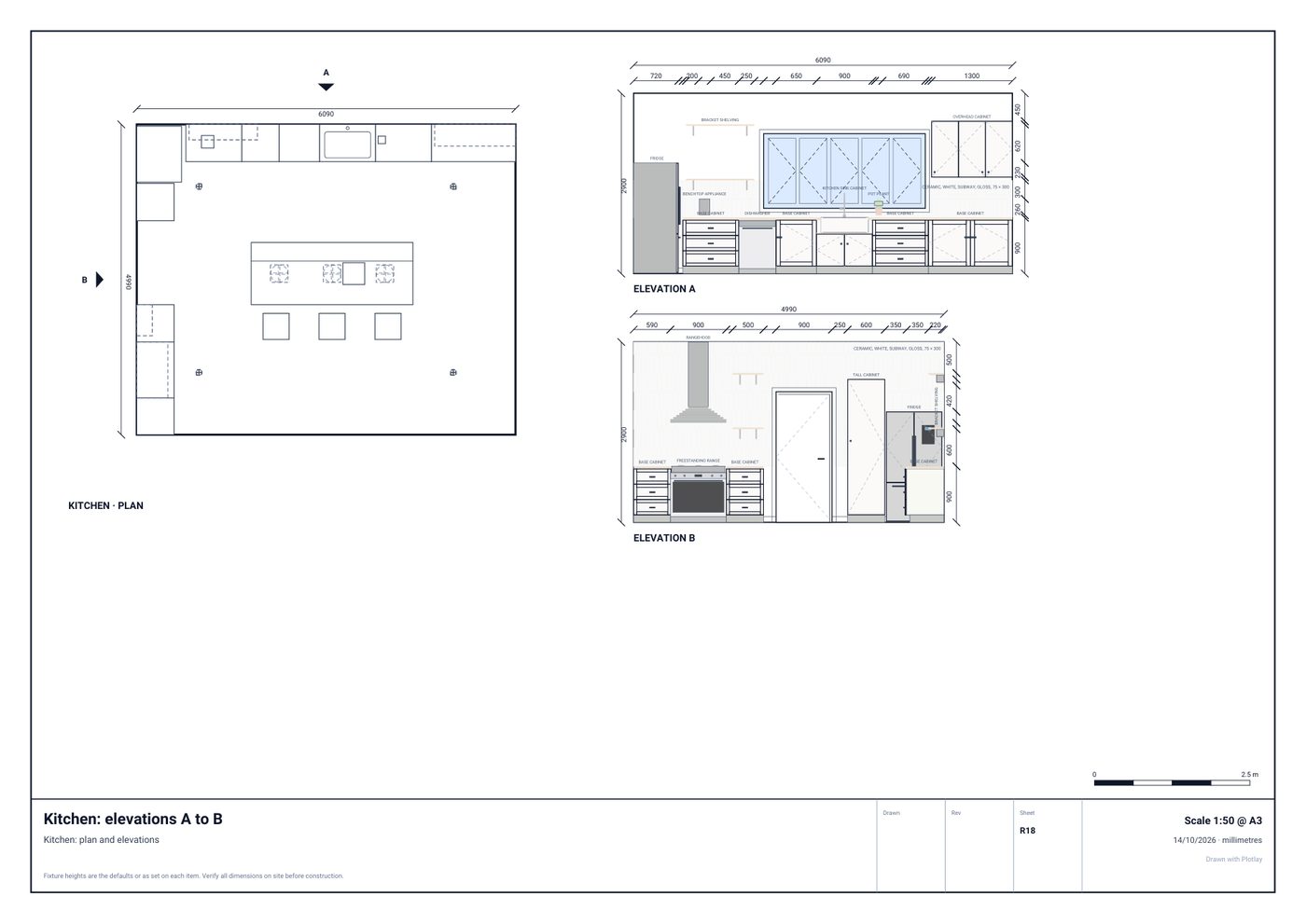
- Schedules, elevations and sections. Doors, windows, rooms, finishes, plants and materials, on screen or as CSV; every wall of a room and every side of the house.
3D and walk-through
- See it in 3D with the sun where it really is for the site, and its shadows.
- Walk through it in first person: doors and windows open, blinds and curtains move, lights switch on. Materials show as they are specified.
- Export the model as IFC for Revit and ArchiCAD, or glTF for SketchUp and Blender.
Field capture
- Import a register. CSV, Excel, GeoJSON, KML, KMZ, GPX or a zipped Shapefile; latitude and longitude or MGA/UTM; every other column kept.
- Work the list on a phone. Nearest first, with distance and direction; confirm, record where it really is, mark it not found, or skip. GPS accuracy on every record.
- Forms, tags and photos. Questions for each asset type, barcode and QR tags, condition, notes and photos.
- Raise the work. Corrective actions, extra work, hazards and follow-ups with priority, due date and photos.
- Ask someone on site. Send GPS points to capture or rooms to scan; what comes back is applied to the drawing.
- Receivers and offline. Bluetooth and USB GNSS receivers that send NMEA, in Chrome and Edge (not yet tested with every model). Install it on a phone; save map areas before you go where the imagery’s licence allows.
Plotlay Scan for iPhone and iPad
- LiDAR room scanning, corner capture on other AR devices, and outdoor capture of trees, fences and beds. Sends the scan to a Plotlay project with a QR code or an 8-character code. More about Plotlay Scan. It is free and is on its way to the App Store.
Documents
- Make a document from one chooser: plans to lodge, a drawing set, a room pack, schedules, a picture, data, or a link.
- Room packs. The rooms you choose, before and after: plans at scale, every wall, views inside rendered with their materials, and finish and fit-out schedules, in one PDF with a ZIP of the pictures.
- Plans to scale. Vector PDF or SVG at 1:20 to 1:5000, A4 to A1, with areas, wall lengths, GPS corners and your title block. DXF in local millimetres, metres or MGA grid.
- GIS and data. GeoJSON, Shapefile, KML, KMZ, CSV and Excel, ready for ArcGIS, QGIS and Power BI.
- Your documents. Save a document’s settings by name and make it again in one click. Every document made is listed: download it again, make it again on the project as it is now, or share it with named people for a set time.
Sharing
- Invite people by email to view, to comment and pick design options, or to edit. Choose where each person starts and what they see.
- The client view. A simple screen for people you share with: the plan, the 3D walk-through, the design options to pick from, the documents you allow, and comments. Viewing needs no account.
- Connected copies. Someone you share with takes a copy, works on it, and sends changes back as a proposal; you accept or reject each change side by side.
- Activity. Recent changes by person, and notifications for comments, picks and joins.
Teams and plans
- Free, Project pass, Pro and Team. A team shares projects and registers, with owner, editor and viewer roles. Prices and limits are in the schedule of fees.
Security and privacy
- Projects stay in your browser until you sign in and sync them; synced projects are stored in Sydney.
- Sign in with an emailed link or code; no password. Each account sees only its own projects and the ones shared with it, enforced in the database.
- Limits on invites, emails, link opens and agent calls keep shared links and the connector from being abused.